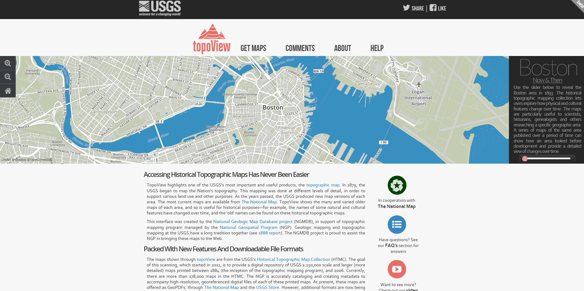
The USGS tool TopoView offers access to digitized maps from 1879 to the current day – which is an amazing resource for looking at landscape change over time. Using an online mapping tool, you can access maps from 250,000 scale down to 24,000 for the entire US , including Alaska and Hawaii. The maps are downloadable in multiple formats, including JPEG, KMZ, GEOPDF, and GEOTIFF and are full size scans – so render in reasonably high resolution.
A sample of some maps (sized down from the original resolution) from the north section of Portland, ranging from 1897 through 1961 shows the difference in land use and geography – as well as indicates the shifting graphical standards of USGS maps over the years. I especially like seeing the urbanization patterns, movement of industrial lands into areas like the Columbia Slough and the (d)evolution of Guilds Like in the NW Industrial area. I hope to add these to the layering of historical mapping that we’ve already developed.
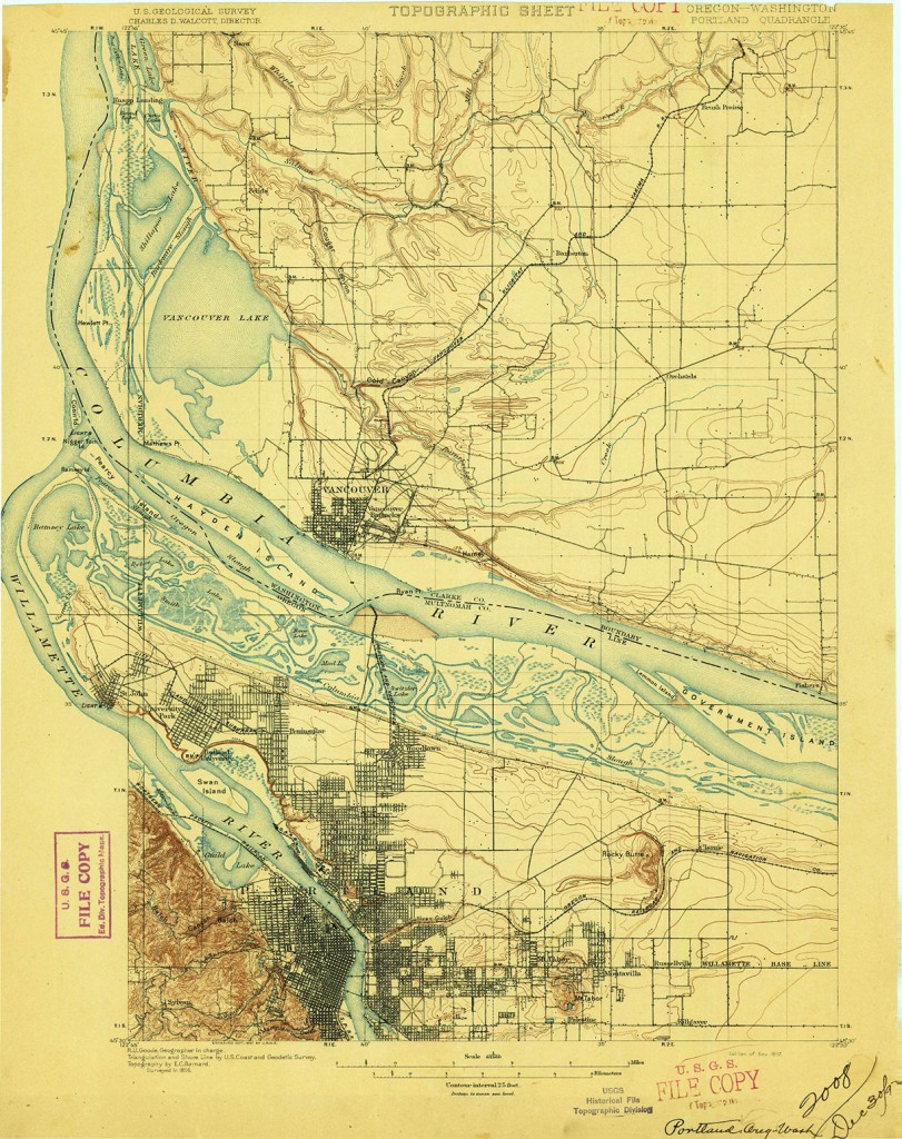
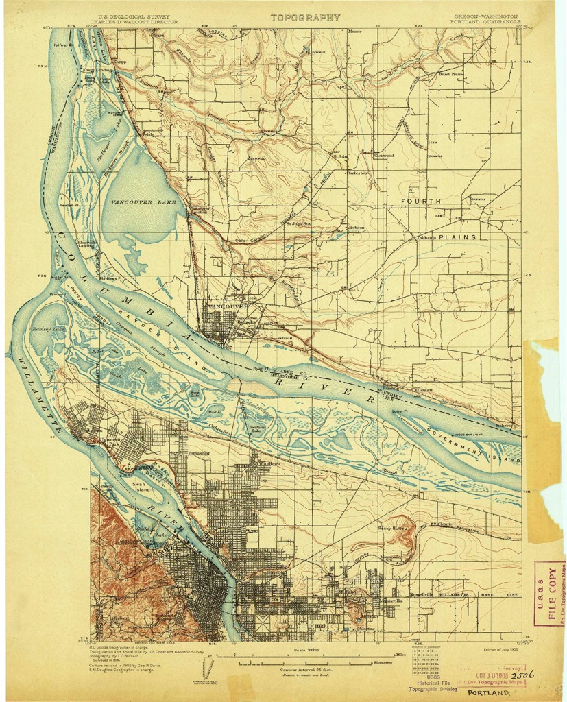
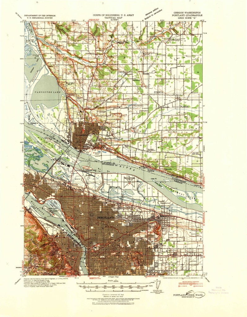
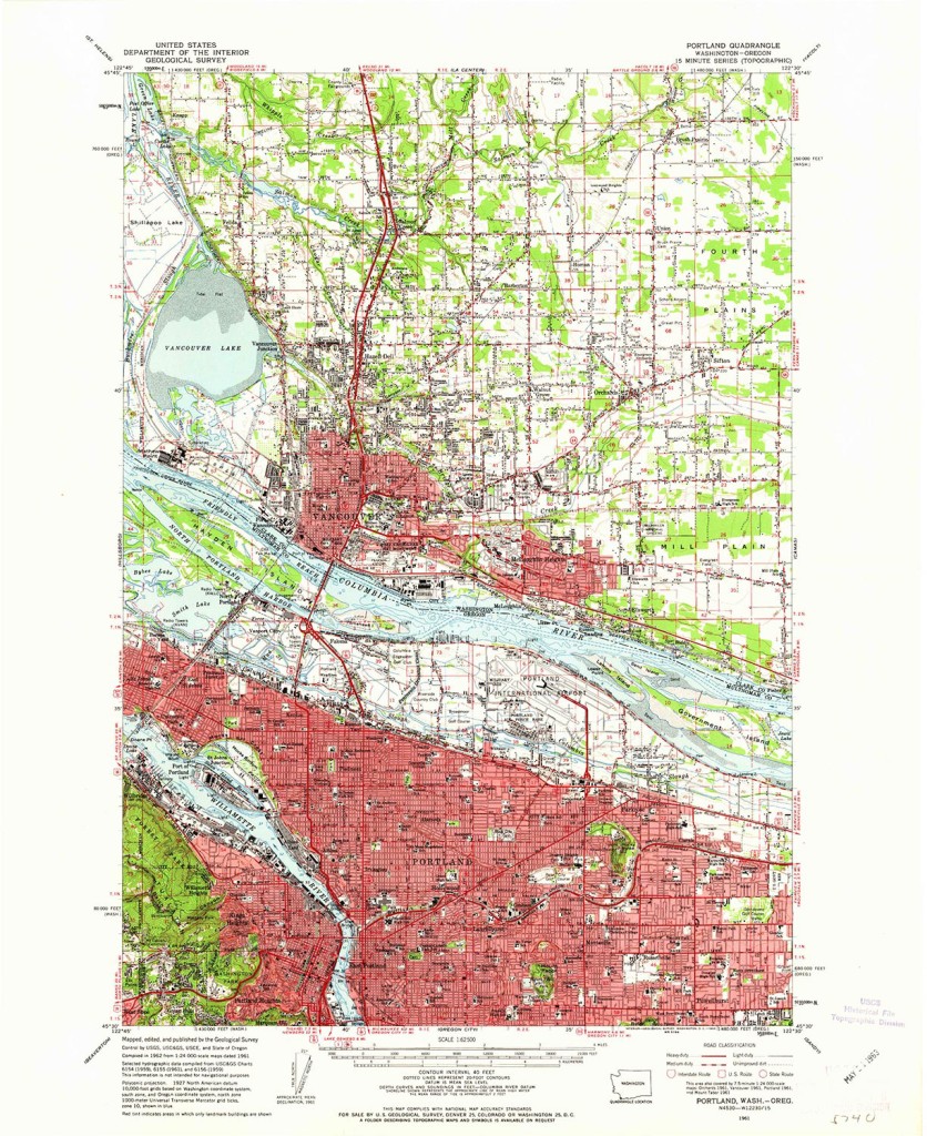
There are definitely more maps I wish existed – in different sizes – but as referenced on the site, the maps were created to highlight different features of land use – so it wasn’t fully consistent. Per the website:
“In 1879, the USGS began to map the Nation’s topography. This mapping was done at different levels of detail, in order to support various land use and other purposes. As the years passed, the USGS produced new map versions of each area. The most current maps are available from The National Map. TopoView shows the many and varied older maps of each area, and so is useful for historical purposes—for example, the names of some natural and cultural features have changed over time, and the ‘old’ names can be found on these historical topographic maps.”
For more info – a short video walks through the usage of the TopoView features. A resource worth more exploration for sure.
